Voyageurs National Park Camping Permits
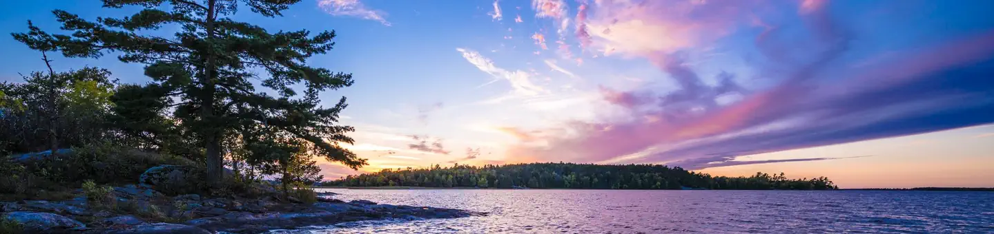 Photo · Share the Experience, Nathan Manz
The place
** PLEASE READ IMPORTANT INFORMATION BELOW TO UNDERSTAND HOW TO CAMP AT VOYAGEURS NATIONAL PARK ** All frontcountry and backcountry campsites require travel by private watercraft or water taxi to access. Click on any campsite name when searching sites to view boating distances. You can type in a specific campsite number or campsite/lake name when searching site availability. Voyageurs National Park has 143 frontcountry, 14 backcountry, and 2 primitive campsites for visitors wanting an authentic Northwoods camping experience. Keep reading
PRIMITIVE CAMPSITES (Red Pine & Blueberry Ridge) are the only campsites that are located on the mainland and DO NOT require a boat to access. They are hike-in sites along the Kab-Ash Trail and are equipped only with fire rings and cleared areas for tents. Leave No Trace Principles apply in these areas. FRONTCOUNTRY CAMPSITES are located on the large lakes (Rainy, Kabetogama, Namakan, Sandpoint). You can boat directly to them from any park visitor center boat ramp. They offer fire rings, tent pads, picnic tables, bear lockers for safe food storage, and outdoor privies. Ten of the frontcountry sites throughout the park are available on a one-week booking window to accommodate short-term trip planners. BACKCOUNTRY CAMPSITES are located on the park's interior lakes and offer a more remote and secluded camping experience consisting of fire rings, tenting areas, an outdoor privy, a bear pole for safe food storage, and a canoe. These sites first require travel by private watercraft or local water taxi service to a remote trailhead and then hiking up to several miles to the backcountry lakes. All backcountry campsite reservations include the use of one canoe and an access code will be provided in your confirmation email. Some campsites can be hiked to directly while others require paddling after hiking. Canoes on backcountry lakes are provided by the park and remain stationed at these lakes. Personal watercrafts of any kind cannot be portaged into backcountry due to the threat of Aquatic Invasive Species . Chain of Lakes (Locator, War Club, Quill, and Loiten Lakes): Reservations at these sites automatically include one canoe because a canoe is required to reach them. In this area only, up to 2 additional canoes can be added on a first come, first served basis to any camping reservation. Shoepack & Little Shoepack Lakes: The campsites on these two lakes come reserved together (for the cost of one) because the one canoe on Little Shoepack is required to reach the campsite on Little Shoepack and/or the portage to Shoepack Lake. Shoepack Lake has its own separate canoe - please leave the canoes on their respective lakes. Ek, Agnes, Jorgens, Quarter Line, Cruiser, Brown, Peary, Oslo and Ryan Lakes: These backcountry campsites can be hiked to directly after boating to a trailhead and have one canoe located at each site. DAY USE BACKCOUNTRY CANOE RENTALS: The Chain of Lakes is the only backcountry area with an additional inventory of canoes that are available for single day use. Use of these canoes first requires travel by private watercraft or local water taxi service to the Locator trailhead and then hiking two miles to where the rental canoes are stationed. To reserve a day use canoe in the Chain of Lakes area, click on the Reserve Day Use button on this page to view availability. To use the canoe at any other backcountry site for day use, that campsite must be reserved for one overnight. DAY USE & VISITOR DESTINATION SITES: With 27 Day Use sites and 7 Visitor Destination sites, Voyageurs National Park has plenty of areas to enjoy for visitors who are out for a day trip on the lakes. Each Day Use site has picnic tables, fire rings and vault privies, while the Visitor Destination sites offer short trails with wayside exhibits, picnic areas and comfort stations. No reservations are required for Day Use or Destination sites. You can view a map of day use sites here . Keep Voyageurs National Park Wild for Future Generations: The Voyageurs Conservancy is the park's official nonprofit partner representing a community of people who care about the ongoing stewardship of Voyageurs National Park. VNPA works to fund projects and programs that will help sustain the park's waters, wild character, and visitor experience for generations to come. Become a member today , follow them on Facebook and Instagram , or sign up for their e-newsletter . Recreation From spring through fall, explore Voyageurs National Park on land by stopping in at a visitor center or hiking any of our 52 miles (84 km) of scenic hiking trails. To explore the vastness of the same lakes the Voyageurs and Ojibwe Indians once traversed, leave your car behind and explore park waters by kayak, canoe, sailboat, motorboat, houseboat or tour boat. Public boat launch ramps are available at park visitor centers, the Crane Lake ranger station and the two state forest campgrounds - Woodenfrog and Ash River. With scheduled programs and boat tours
The sites · 162
| Loop | Site | Type | Max rig | Electric | ADA |
|---|---|---|---|---|---|
| Backcountry | Agnes Lake B1 | hike to | — | — | |
| Backcountry | Brown Lake B3 | hike to | — | — | |
| Backcountry | Cruiser Lake B5 | hike to | — | — | |
| Backcountry | Ek Lake B6 | hike to | — | — | |
| Backcountry | Jorgens Lake B7 | hike to | — | — | |
| Backcountry | Locator Lake B9 | hike to | — | — | |
| Backcountry | Loiten Lake B11 | hike to | — | — | |
| Backcountry | Oslo Lake B12 | hike to | — | — | |
| Backcountry | Peary Lake B13 | hike to | — | — | |
| Backcountry | Quarter Line Lake B14 | hike to | — | — | |
| Backcountry | Quill Lake B15 | hike to | — | — | |
| Backcountry | Ryan Lake B18 | hike to | — | — | |
| Backcountry | Shoepack B8 & Little Shoepack Lakes B19 | hike to | — | — | |
| Backcountry | War Club Lake B17 | hike to | — | — | |
| Kabetogama Lake | Bald Rock K1 | boat in | — | — | |
| Kabetogama Lake | C. Vic Linsten K5 | boat in | — | — | |
| Kabetogama Lake | Camel Back Island K3 | boat in | — | — | |
| Kabetogama Lake | Cutover Island South K6 | boat in | — | — | |
| Kabetogama Lake | Eagle View K7 | boat in | — | — | |
| Kabetogama Lake | Echo Island K41 | boat in | — | — | |
| Kabetogama Lake | Eks Bay K8 | boat in | — | — | |
| Kabetogama Lake | Fox Farm K50 | boat in | — | — | |
| Kabetogama Lake | Grassy Islands South K9 | boat in | — | — | |
| Kabetogama Lake | Happy Landing K11 | boat in | — | — | |
| Kabetogama Lake | Kabetogama Lake Group K54 | boat in | — | — | yes |
| Kabetogama Lake | La Bontys Point K14 | boat in | — | — | |
| Kabetogama Lake | Lost Bay (Kab) K16 | boat in | — | — | |
| Kabetogama Lake | Lost Bay Island K17 | boat in | — | — | |
| Kabetogama Lake | Lost Lake K19 | boat in | — | — | |
| Kabetogama Lake | Maple Point K21 | boat in | — | — | |
| Kabetogama Lake | Marrs Point East K55 | boat in | — | — | |
| Kabetogama Lake | Moxie Island K22 | boat in | — | — | |
| Kabetogama Lake | Northland K24 | boat in | — | — | |
| Kabetogama Lake | Peterson Point K25 | boat in | — | — | |
| Kabetogama Lake | Pine Point K45 | boat in | — | — | |
| Kabetogama Lake | Round Bear Island K29 | boat in | — | — | |
| Kabetogama Lake | Shelter Bay K30 | boat in | — | — | |
| Kabetogama Lake | Sphunge Island East K31 | boat in | — | — | |
| Kabetogama Lake | Sphunge Island West K53 | boat in | — | — | |
| Kabetogama Lake | Sugarbush Island K34 | boat in | — | — | |
| Kabetogama Lake | Windigo K35 | boat in | — | — | |
| Kabetogama Lake | Wood Duck Island K36 | boat in | — | — | |
| Namakan Lake | Aspen Bench N57 | boat in | — | — | |
| Namakan Lake | Birch Cove Island N1 | boat in | — | — | |
| Namakan Lake | Catamaran N15 | boat in | — | — | |
| Namakan Lake | Convergence N73 | boat in | — | — | yes |
| Namakan Lake | Day Marker 23 N5 | boat in | — | — | |
| Namakan Lake | Depthfinder Island N7 | boat in | — | — | |
| Namakan Lake | Fox Island N10 | boat in | — | — | |
| Namakan Lake | Hamilton Island East - will be replaced with Snake Pit site | management | — | — | |
| Namakan Lake | Hammer Bay Point N69 | boat in | — | — | |
| Namakan Lake | Hammer Bay South N59 | boat in | — | — | |
| Namakan Lake | Hoist Bay N12 | boat in | — | — | |
| Namakan Lake | Johnson Bay N13 | boat in | — | — | |
| Namakan Lake | Junction Bay N14 | boat in | — | — | |
| Namakan Lake | Kettle Portage N16 | boat in | — | — | |
| Namakan Lake | Leach Bay N3 | boat in | — | — | |
| Namakan Lake | Mcmanus Island West N18 | boat in | — | — | |
| Namakan Lake | Mica Island N20 | boat in | — | — | |
| Namakan Lake | My Island South N24 | boat in | — | — |
SHOWING 60 OF 162 SITES
Booking
Recreation.gov default: most campsites can be booked six months prior to arrival date. Most campgrounds go on sale at 7am PT / 8am MT / 10am ET, but not always; check the facility Seasons and Fees tab. Some locations also offer shorter supplemental booking windows.
Book on recreation.govFees
Your representative
This campground sits in MN-08. This member’s public-lands record →